Honoring the Best of Consulting Engineering since 1989.
Owner: Nisg̱a’a Lisims Government | New Aiyansh, BC
About the Project
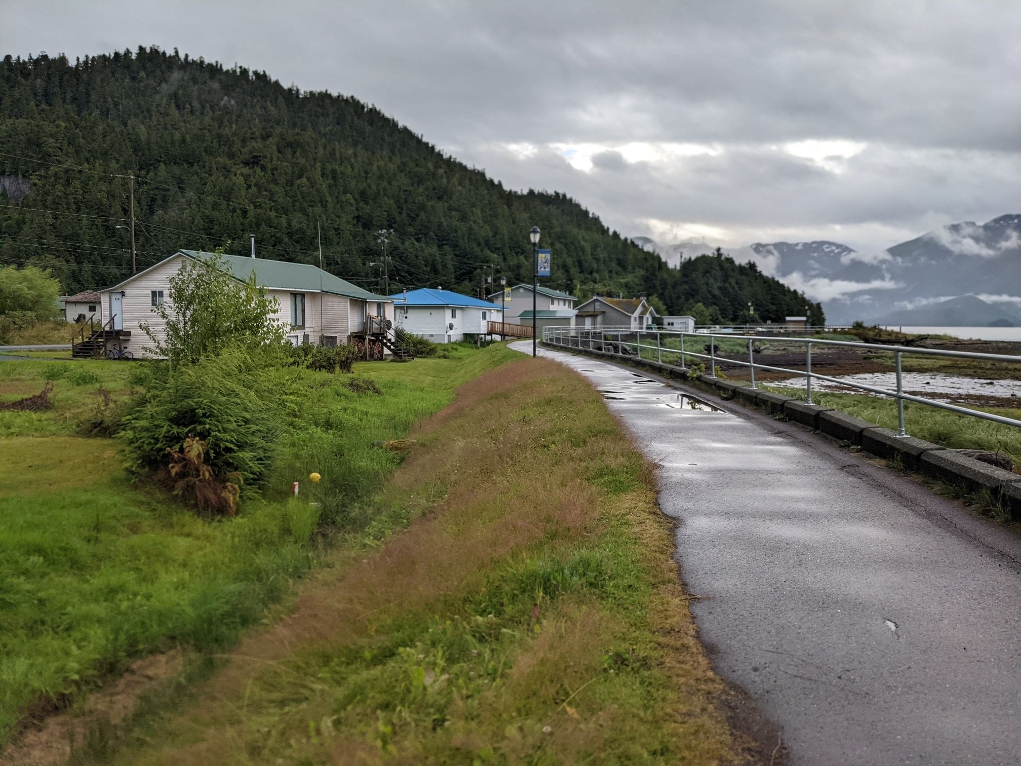
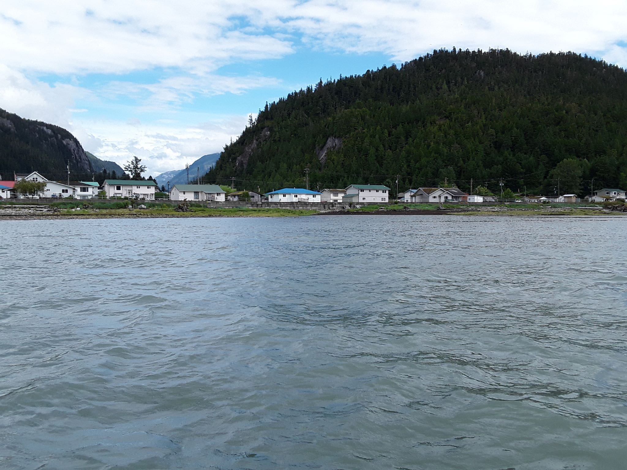
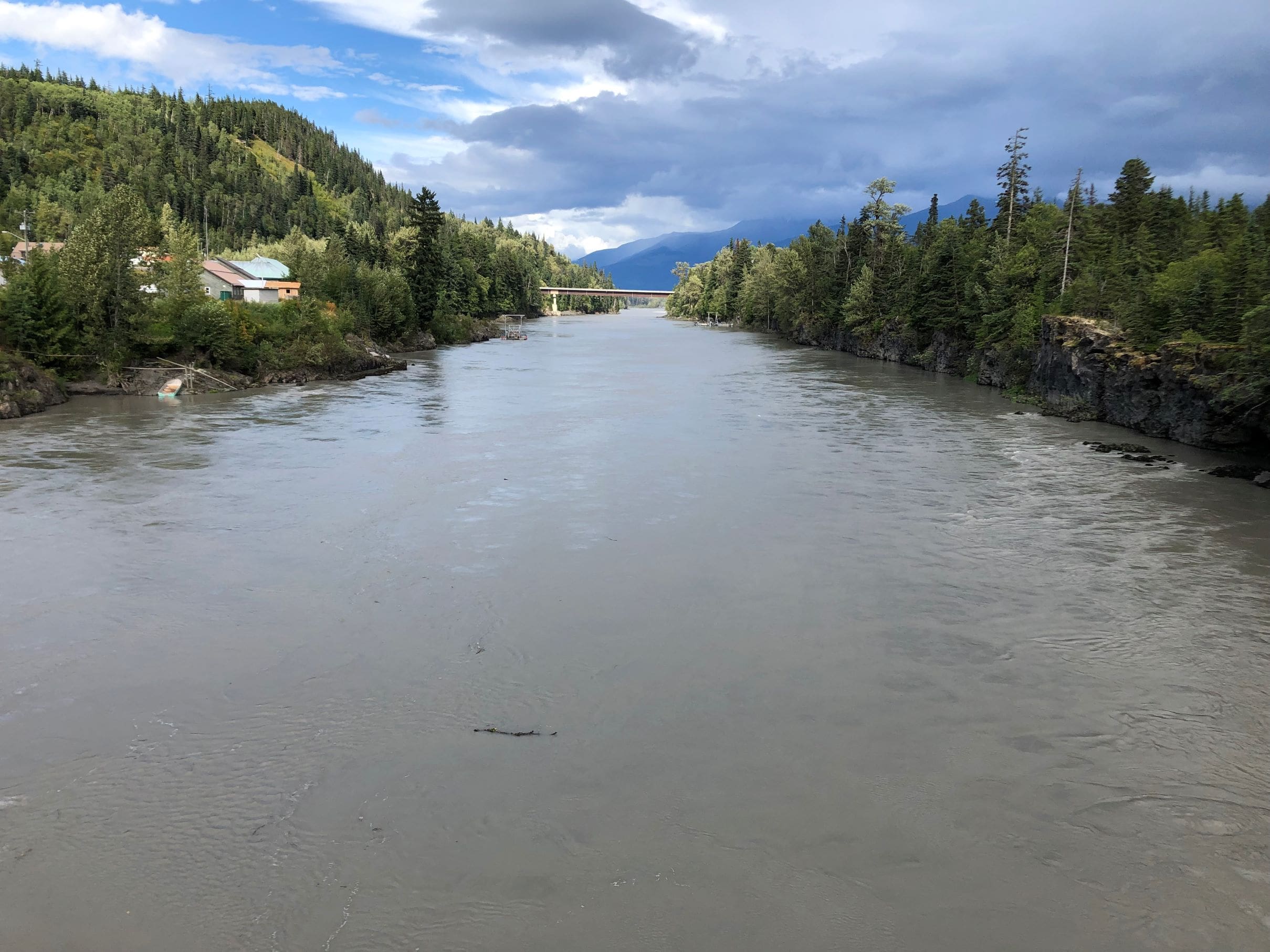
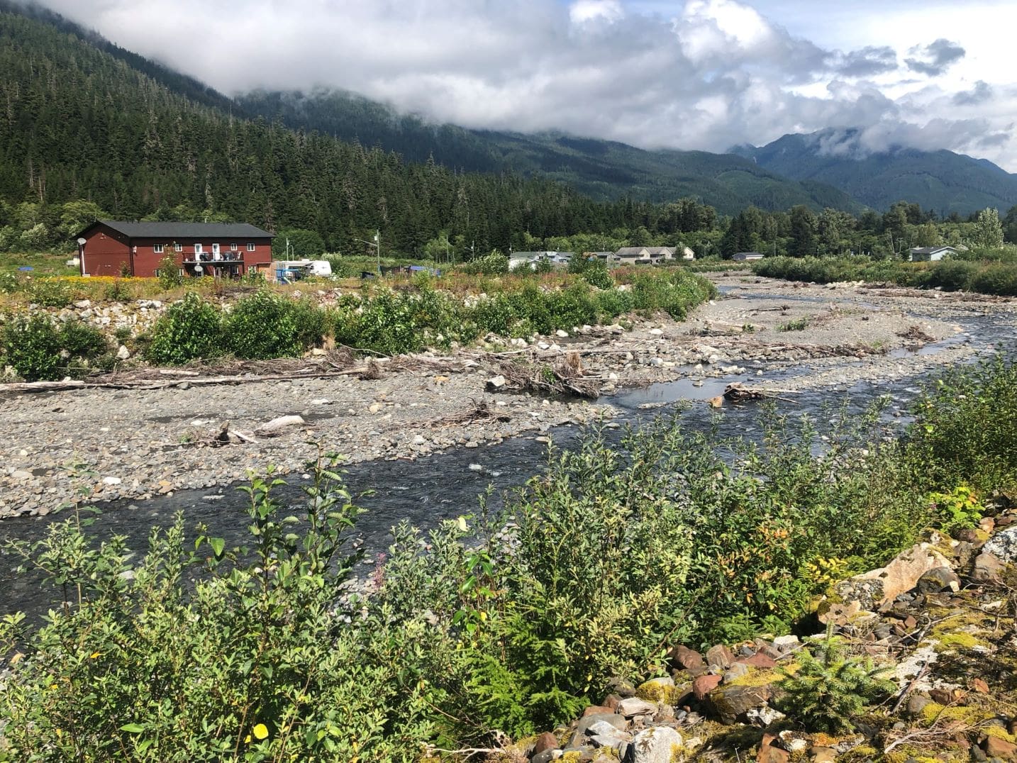
In 2023, NHC achieved a key project milestone in a multi-year project for the Nisg̱a’a Lisims Government (NLG), completing flood maps for the villages of Gitwinksihlkw, Lax̱g̱alts’ap, and Ging̱olx, Fisheries Bay, and 14 km of critical connector roads in riverine and coastal floodplains. NHC has worked closely with the Nisg̱a’a Nation on this multi-disciplinary project since 2019. The Nisg̱a’a Lands, comprising an area of approximately 2,000 km2 along the Nass River and Nass Bay, include areas that are at high-risk of flooding, as proven by numerous destructive floods over the past century. These flood risks and associated geomorphic hazards are expected to worsen with climate change.
The project included surveying, river and coastal monitoring, studies on climate change, hydrology, hydraulics, coastal processes, geomorphology, and mapping, and community engagement. The maps have improved public awareness of flood risks and flood mitigation strategies; plans are now underway to implement mapping results and details into zoning, bylaws, and official community plans.
Developed to also support long-term, linear infrastructure planning, the maps have already informed infrastructure improvement projects for areas subject to frequent road washouts and degraded fish-bearing habitat. The flood maps are also informing the best options for emergency response in flood-prone communities.
Follow-on studies include a quantitative risk assessment that will enable the Nisg̱a’a Nation to assess potential flood mitigation options. This will include a cost-benefit analysis that will enable the Nisg̱a’a Nation to assess long-term flood mitigation strategies versus floodplain retreat or relocation. The risk assessment will continue to inform the decision-making process for community decision makers, which is critical given the potential impacts to the Nisg̱a’a Nation’s heritage, culture, and infrastructure.
Approach
The project approach was guided by stakeholder engagement. To start, NHC worked with NLG, the Nisg̱a’a Village Governments of Gitwinksihlkw, Lax̱g̱alts’ap, and Ging̱olx, and five funding agencies to secure funding.
A holistic understanding of the flood interactions between the Nass River, Nass Bay, and tributaries, was developed by NHC through targeted data collection for the purpose of calibrating the models used to simulate flooding in the floodplains. The team installed 12 water level gauges throughout the study area, with three riverine locations providing flow estimates.
Next, NHC developed comprehensive hydrologic, hydraulic, and coastal models with joint probability analyses integrated to simulate flood scenarios. NHC also conducted a geomorphology assessment to identify areas with river sedimentation and channel migration or avulsion potential, with these results informing the flood scenarios. The coastal analysis included assessing storm surge, wave run up, and tsunami impacts. The impacts of climate change were assessed with NHC’s custom downscaled climate projections to provide the most up-to-date outlook. For model and map development, NHC surveyed the 280 km2 area of interest using LiDAR and orthoimagery and conducted bathymetry surveys for 53 km of river survey, and 45 km2 of estuary.
The models were calibrated with recent flood events, with validation supported by Indigenous Knowledge, including community review of modelled flood extents.
Results
The study has provided the Nisg̱a’a Nation with official flood maps that are currently informing community flood mitigation strategies, official community planning, infrastructure planning, and emergency response.
Service(s) Provided
-Survey (lidar, orthoimagery, bathymetry, topography)
-River and coastal hydrometric monitoring
-Climate change projection downscaling and assessment
-Hydrological modelling
-Hydraulic modelling
-Coastal assessment, including wave runup and tsunami modelling
-Geomorphological assessment, including debris flow and floods
-Flood hazard and Flood Construction Level
-Community and stakeholder engagement
-Preparation of funding applications
Go back to projects in
View other projects from
Proudly presented by
Stay in touch with us
Subscribe to our mailing list!
Organization
Connect