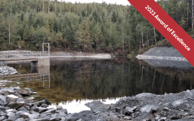
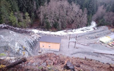
The project is a run-of-river hydro facility on Ahtaapq Creek, near Refuge Cove and is owned by the Hesquiaht First Nation. Its area overlaps with the interests of both the Hesquiaht and Ahousaht First Nations. Hesquiaht lead the project with a perspective based on their values…
Site C Channel Contouring and Side Channel Enhancement Project
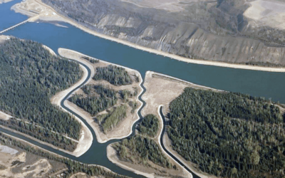
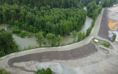
As part of the largest fish habitat project undertaken by BC Hydro, NHC designed and engineered 6.5 hectares of aquatic habitat along the Peace River to benefit fish populations during the operations of the Site C Clean Energy project.
Adaptation of the Nisg̱a’a Nation to the Impacts of Climate Change – Floodplain Mapping
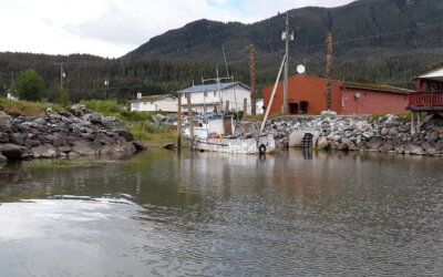
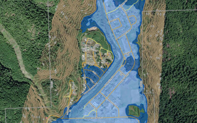
NHC completed a multi-disciplinary flood mapping project for the Nisg̱a’a Nation, which included surveying, river and coastal monitoring, studies on climate change, hydrology, hydraulics, coastal processes, geomorphology, and community engagement.
Newcastle Dam Decommissioning and Village Water Supply Intake
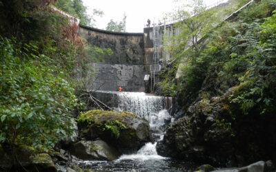
NHC began working with the Village of Sayward in 2015 to conduct a DSR of the Newcastle Dam and identify options to meet provincial dam safety regulations. After assessing multiple upgrade options, NHC developed a practical solution to decommission the concrete…
Líl̓wat Nation Poleyard Dike Upgrade
In 2022, NHC and Thurber collaborated with the Líl̓wat Nation and other members of the Pemberton Valley Emergency Management Committee to complete the Phase 1 design and construction of approximately 750 m of dike upgrades to the Poleyard Flood Defence System…
Northwest Vancouver Island Tsunami Risk Assessment – Phase I
Maps were created that show the tsunami hazards, including the extent of how flooding affects communities (Figure 3) and how fast current speeds will put mariners out on the water at risk (Figure 4). Results also include tsunami arrival times, which on the open west coast of Vancouver Island…
Padakus Creek Hydroelectric Project
A run-of-river hydro facility on Padakus Creek near Kingcome Inlet, owned by Dzawada’enuxw First Nation, generates 350kW of renewable electricity, displacing 97% of diesel consumption and reducing yearly GHG emissions from ±868MT of CO2 to ±26MT.
Site C Temporary Debris Boom
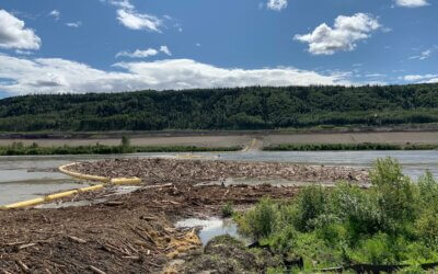
To construct the Site C Dam, the Peace River has been diverted through two tunnels. A temporary debris boom was put in place to catch debris upstream of the diversion tunnels to prevent potential blockage. The debris boom installed is unlike a traditional debris boom because….
Scour Protection at the South Surrey Interceptor
Northwest Hydraulic Consultants
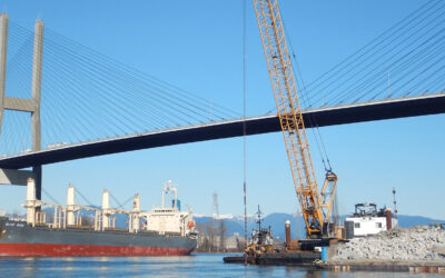
Metro Vancouver’s South Surrey Interceptor (SSI) sewer line crosses the navigation channel of the Fraser River immediately downstream of Alex Fraser Bridge. Over the past 35 years, a scour hole downstream of the SSI deepened


